

GIS & Mapping
Top Of The Line GIS, Surveying & Mapping Solutions
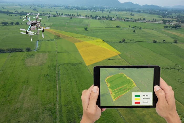
GIS, Surveying and Mapping professionals are turning to Aerial Solutions for efficient and prompt operations. Unmanned Aerial Systems have huge advantages over the traditional mapping methods. Our team at SoFly is well versed with the UAV technology and GIS aesthetics. We have a fleet of self developed UAVs along with top of the line hardware available off the shelf. Our expertise in UAVs gives us the edge over other companies offering similar technologies. Precision is the primary requirement in the GIS industry. We at SoFly ensure that you get an unmatched accuracy for your project.
High Precision Data
Accuracy in GIS is the defining factor in all projects, we produce industry leading accurate data.
GIS Experts
Our GIS team is experienced and provides integrated solution.
Cost Efficiency
Our processes give you the most cost efficient solutions.
Unmatched Hardware
Our Hardware Expertise is unmatched, we have top of the line aircraft in our fleet.
